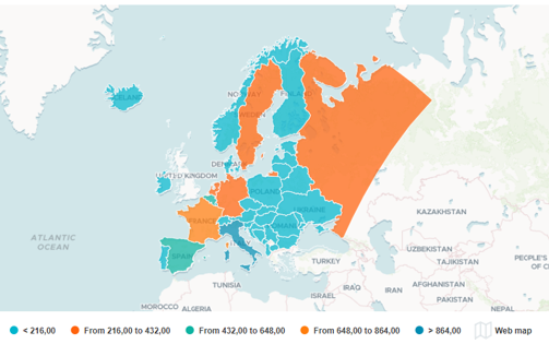
WebMapline component
A new component is introduced in this release: the WebMapline. Mapline is one of your favorite existing component (with the ability to integrate your own maps/plans). WebMapline gives a new dimension by adding an online background to your custom maps!
• Add your custom mapson an online background map
• Standard maps provided in the component (World, Europe, USA, France)
• Standard Web maps providers included (OpenStreet, Esri…)
• Add your own online provider (external or internal to your company)
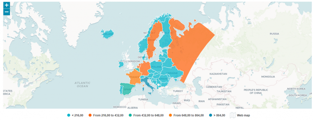
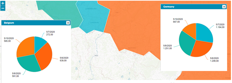
• Get the same options and features as in the standard Mapline component such as pies on map, mini charts in popup, fullscreen view and so much…
Export enhancement
You already like the HTML export feature; you will love the PNG export capability offered in this new release! Enhancement in the HTML export has been released.
The settings family formerly named « HTML Export » is now called « Export Server »
You will retrieve in it the HTML export settings
But you also find a new feature : ability to export your N4V component in PNG format
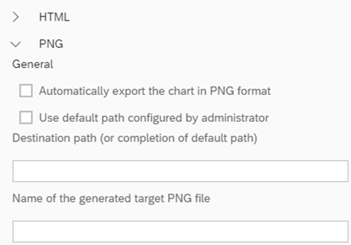
• With the PNG export capability, replace the SAP LiveOffice feature!
• Include directly in your Word documents the PNG path of your charts, schedule your Webi report and get your entire .docx updated
New features in components
As usual, many new options/features are coming with this new release. Enhance your reports as never before!
• Display the numeric values in a smart short or long compact format.
• Read your values in an easiest and quickest way
• Easily (with no code) create a styled border of all components.
• Change in few clicks the size, rounded corners, colors & style!
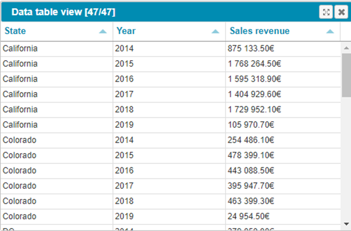
You can now display the Data Table View in a lighter mode (without sub-menu, filter bar, calculation line);
Pretty much easy way to provide information in a full accessible mode
See the Wiki for a full report
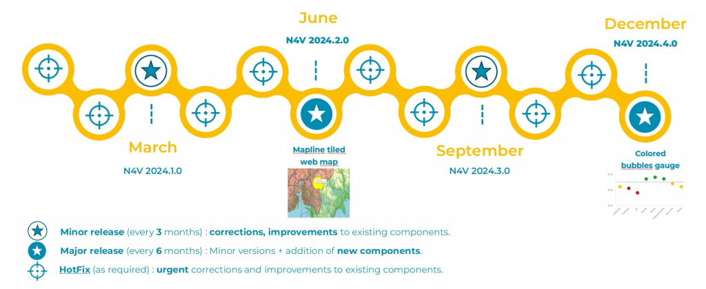
Full release note 2024.2.0
2 major releases in 2024